Understanding the expectations in the geo-spatial industry of point cloud software
We worked with SMEs to understand the geo-spatial domain and how the current platform works. We started with a comprehensive competitive analysis of the main point cloud processing software in the industry. It quickly became clear that there were hundreds of companies serving this space from platforms like Bentley and CAD to smaller companies like TerraSolid and Flai. They all specialised in some aspect of point cloud processing where Neara tried to do everything.
Geo-spatial companies capture and transform aerial point cloud for utilities, the average turn over in the industry is around 2 weeks. By enabling Geo-spatial companies to use the Neara platform to auto-classify and deliver quality point cloud within 48hours at a 98% accuracy Neara could dominate the market. At the time Neara’s ML model could only deliver 80% accuracy without manual correction.
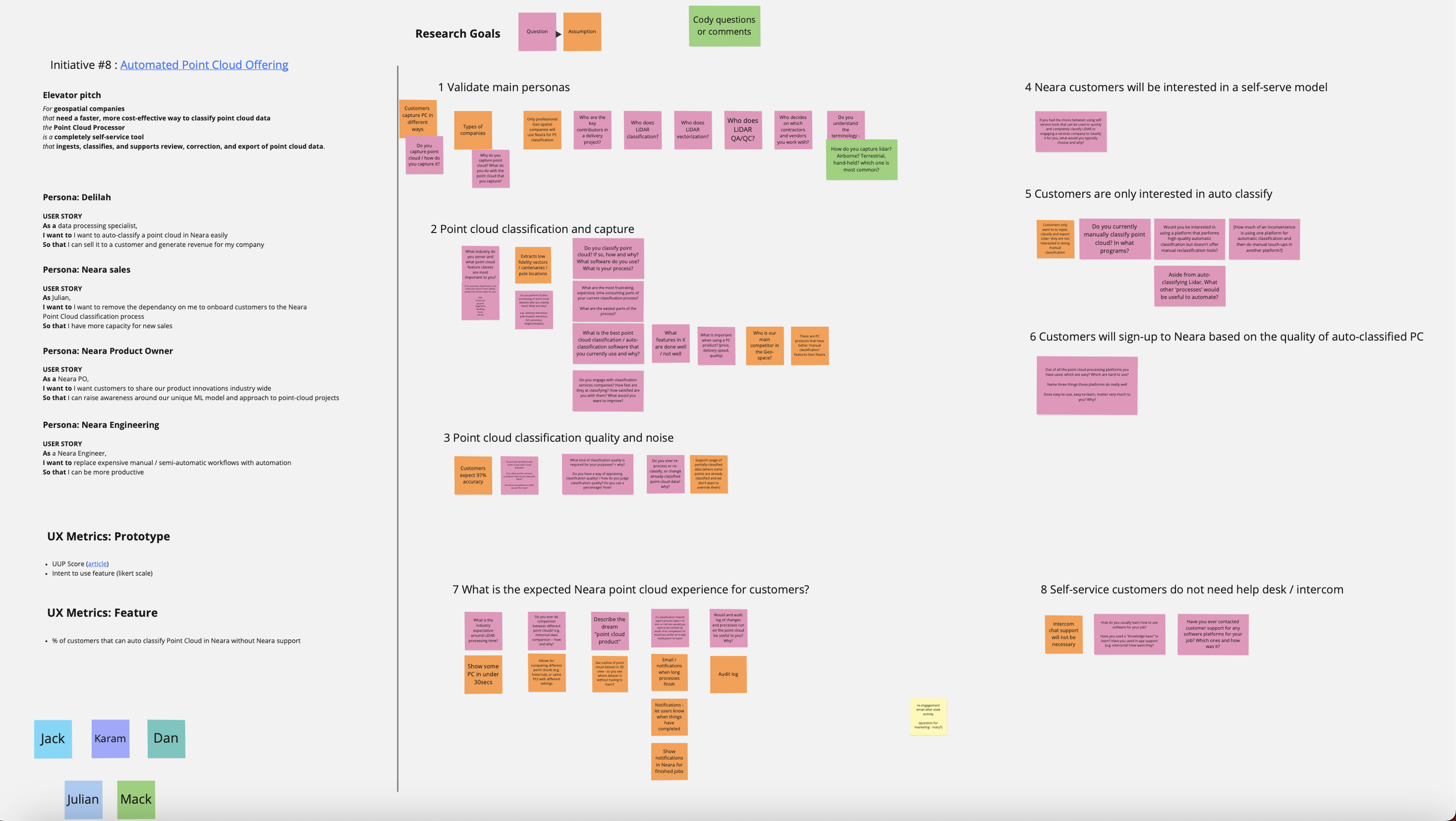
Once the business reached a consensus on what they wanted to validate we started to create our artefacts.
Research plan
Interview guides
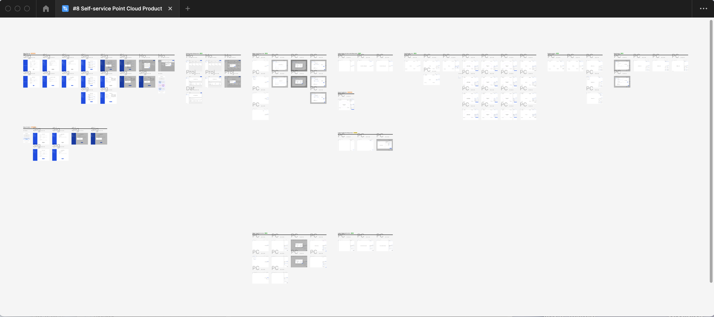
Lo-fi prototype
As the new self-serve feature were aimed at the US market we could not use Australian customers. We used the recruitment platform ‘Respondent’ to recruit participants. Unfortunately we only managed to recruit only 3 suitable participants and had to rely on our internal delivery team’s experience to ensure a good sample size. Interview guides and usability guides followed together with a whiteboard session where we created a flow for a lo-fi exploratory prototype. We had no idea what the requirement of a self-serve feature would be and wanted to use the prototype as a starting point to extract more information from participants based on their experience with other software.
Timeline: 2 weeks
Participants: 3 US based geo-spatial users
Sessions: Online, 60minutes, consisting of a general information session followed by a usability session featuring a lo-fi prototype
Research goals: Validating business assumptions for a point cloud MVP self-serve feature
The research sessions covered 6 areas that would contribute to the self-serve model;
Getting to know the participant/company
Industry related requirements
Features and tools
How they work
Onboarding
Self-serve requirements e.g. payment
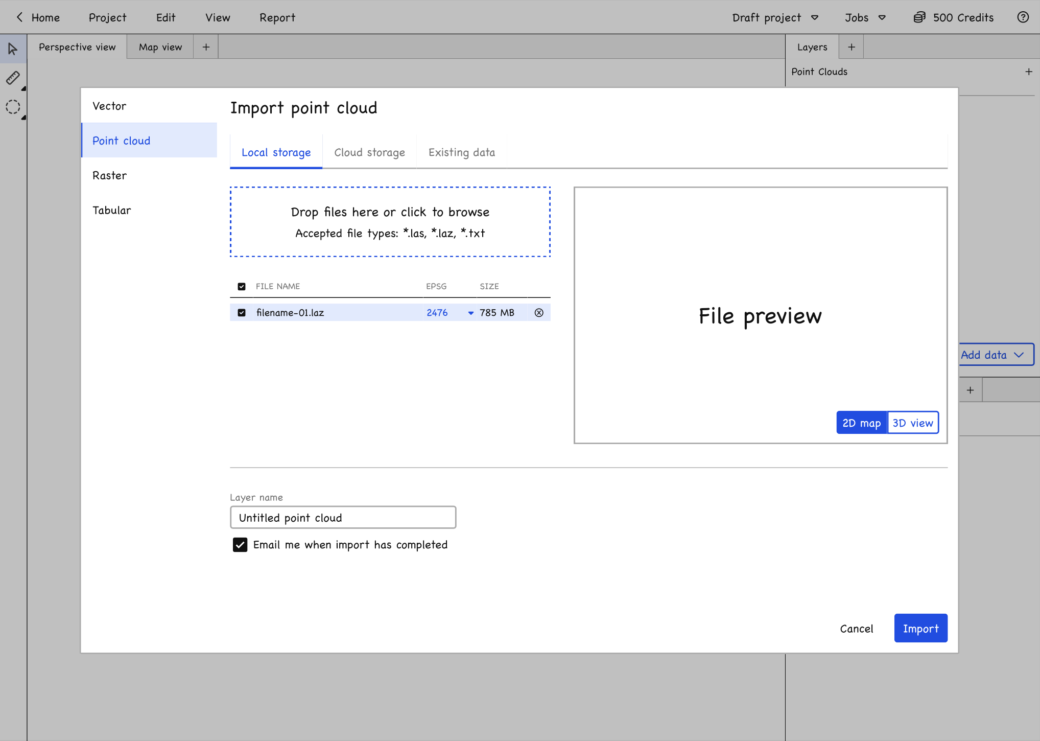
We tested a modal based workflow
Prototype exploring an end-to-end self-serve flow
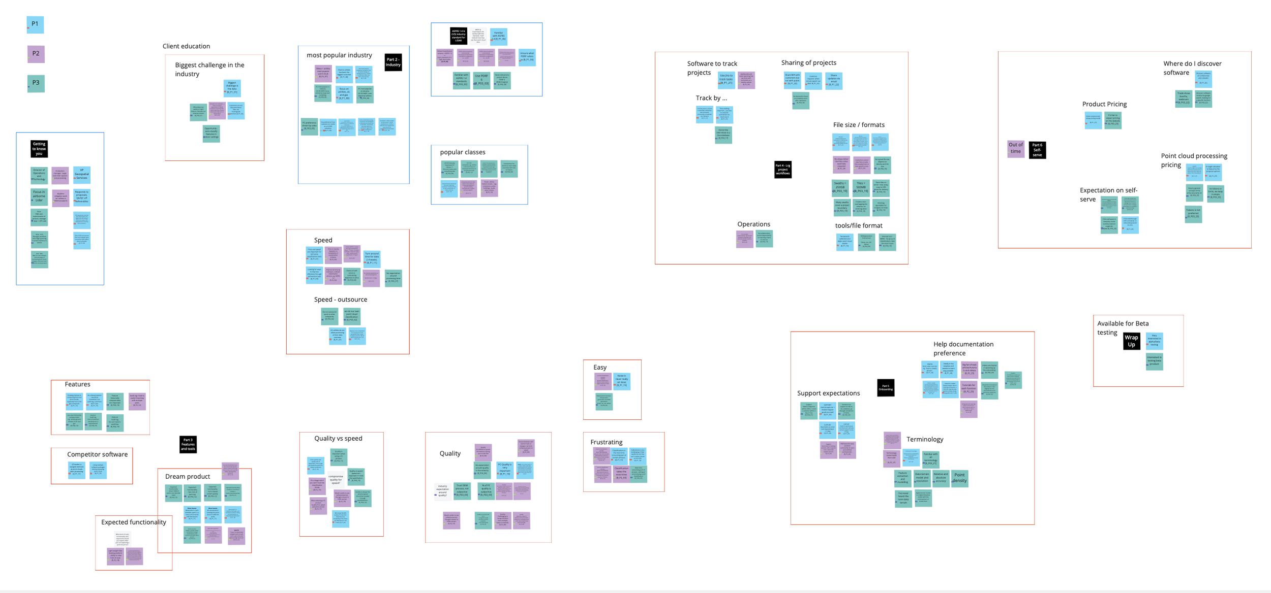
Synthesis were done in Miro
Synthesis
Interviews were recorded via Otter.ai. A summary of each interview was documented in Fibery (similar to Confluence). Miro was used to analyse and synthesis the feedback into themes. From here we deducted actionable insights and presented it to stakeholders.
Main takeaways
Geo-spatial customer’s dream product is the ability to traverse point cloud seamlessly
Quality is more important than speed when using a cloud product
““That’s what keeps me awake at night, trying to get everything classified to the level that customers are looking for and not having random points left behind that end up raising flags for them when they start using it””


